Vient de paraître
LIEUX DE MEMOIRE JUIFS
AU SUD DE L'ATLAS MAROCAIN
Tome 1 : Province de Ouarzazate et jebel Siroua
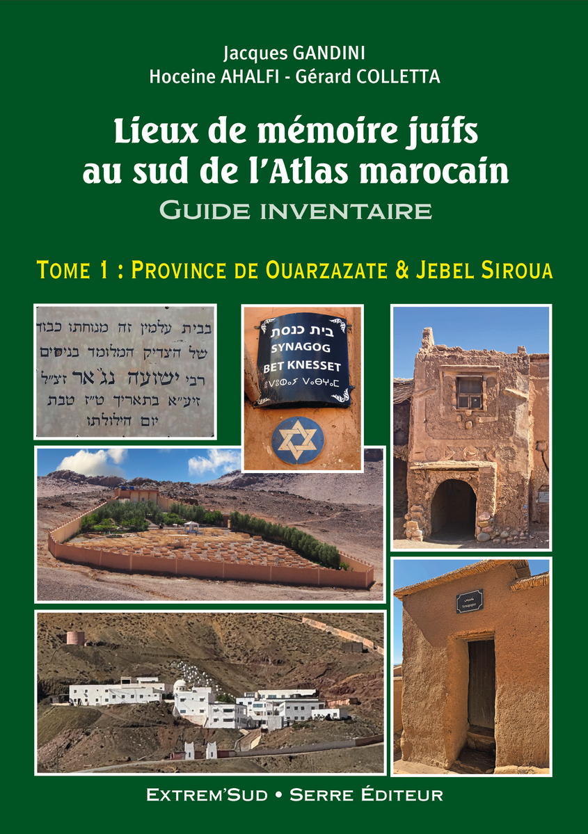
Guide-inventaire
170 pages, au format 15 x 21 cm. 330 Illustrations couleurs.
Votre panier
Quel guide choisir ?

AVERTISSEMENT IMPORTANT
 Extrem-sud.com, GooglePlay® et l'eBookStore d'Apple® sont les seuls sites internet habilités à commercialiser les fichiers informatiques tirés des ouvrages publiés par les Éditions Extrem'Sud, notamment des Guides 4x4 J. Gandini et des guides Verhooste (eBooks, ePubs, PDF, GPX, RT2, WPT ou tout autre format.)
Toute acquisition, à titre onéreux ou gratuit, sur un autre site internet est illégale. Elle expose son auteur, même de bonne foi, à des poursuites civiles et/ou pénales et à une condamnation pour recel de contrefaçon selon les termes du Code de la Propriété Intellectuelle et des conventions internationales en vigueur.
En outre, de nombreux fichiers proposés illégalement hors les sites sus-cités étant obsolètes, la responsabilité du groupe Serre Éditeur ne saurait en aucun cas être engagée par la non conformité avec les guides papier, et les éventuels accidents que leur utilisation pourrait causer.
DANS TOUS LES CAS, N'UTILISEZ JAMAIS DES FICHIERS PROVENANT D'AUTRES SITES
Meilleure vente
Le nouveau guide Gandini :
PISTES ET HORS PISTES
EN MAURITANIE
Trois saisons et plusieurs mois de confinement
auront été nécessaires pour effectuer le relevé
de 1838 waypoints pour 66 itinéraires totalisant
14 711 kilomètres. Le résultat est à la mesure
de l'effort déployé : un guide de 536 pages,
illustré par 674 photographies vient de voir le jour.
Moroccan Tracks volume 11 (English)
The Sagho djebel

Payée par carte bancaire, votre commande sera expédiée après-demain
Caractéristiques
| Référence : | EX43 |
| : | Jacques GANDINI, Hoceine AHALFI |
| : | 9782864106746 |
| : | 2022-07-10 |
| : | Volume of 140 pages, format 15 x 21 cm. 200 colour photographs. Laminated colour cover. |
 The "Jacques Gandini Roadbooks" are lighter versions of the French " Guides 4x4 J. Gandini" (without the historical or ethnographic boxes present in the French edition): all the itineraries, all the waypoints and their comments are included. Abundantly illustrated, they are printed on strong 170g/m2 paper and bound with a metal spiral for better handling on the trail. They are published in 4 languages: Spanish, English, German and Italian.
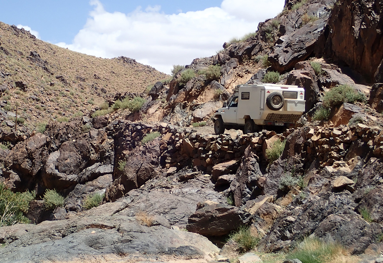
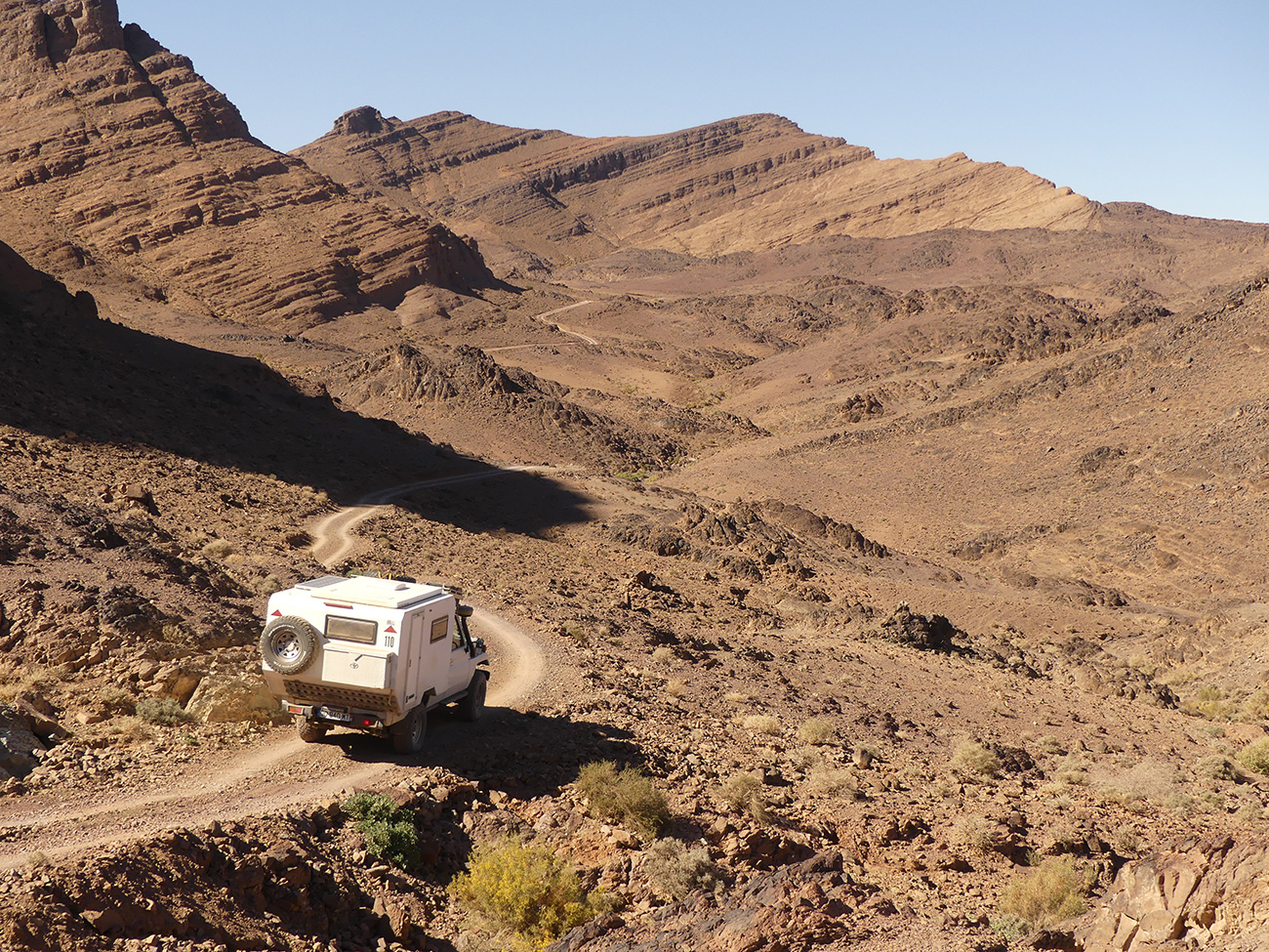
Jacques Gandini and Hoceine Ahalfi have explored in detail the jebel Sagho, this magnificent wild region of southern Morocco, with its breathtaking landscapes, situated to the east of Warzazat and to the south of the Dades valley, and have put together 59 itineraries totalling 2,500 kilometres and 1,100 waypoints.
Description
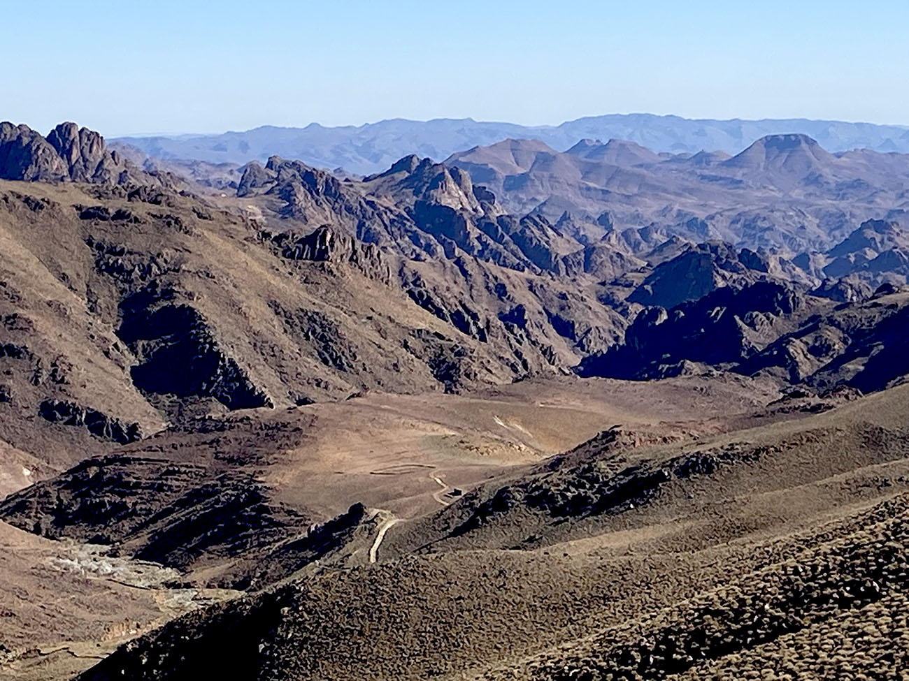
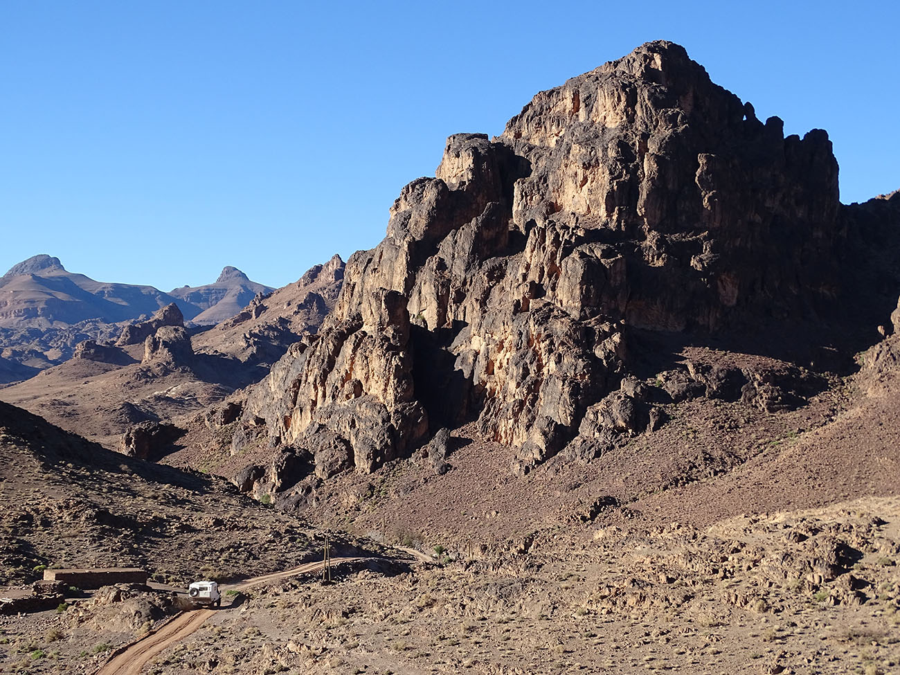
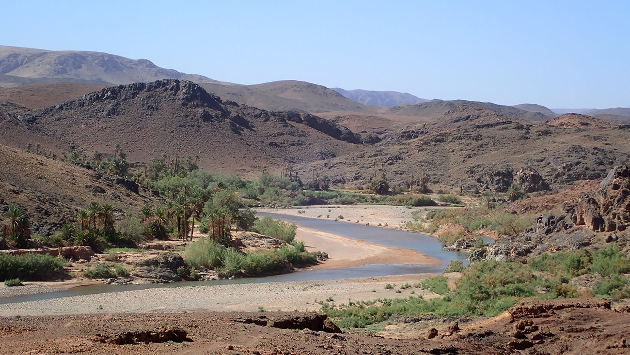
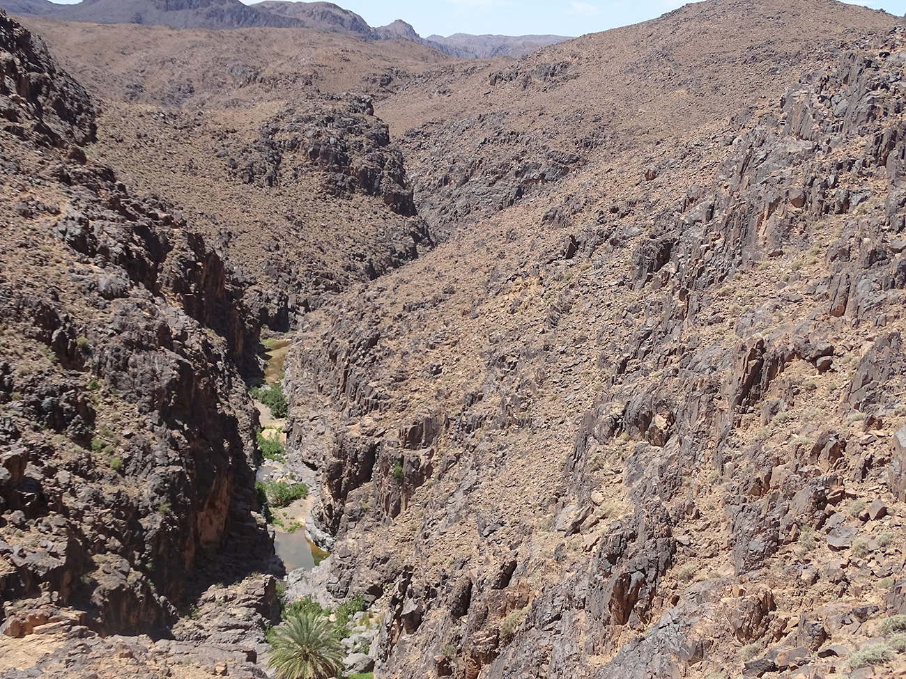
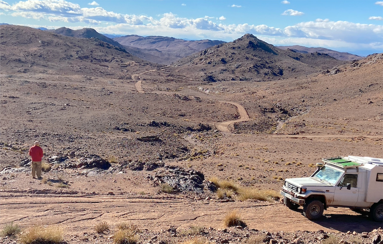
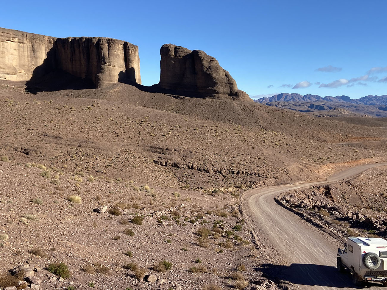
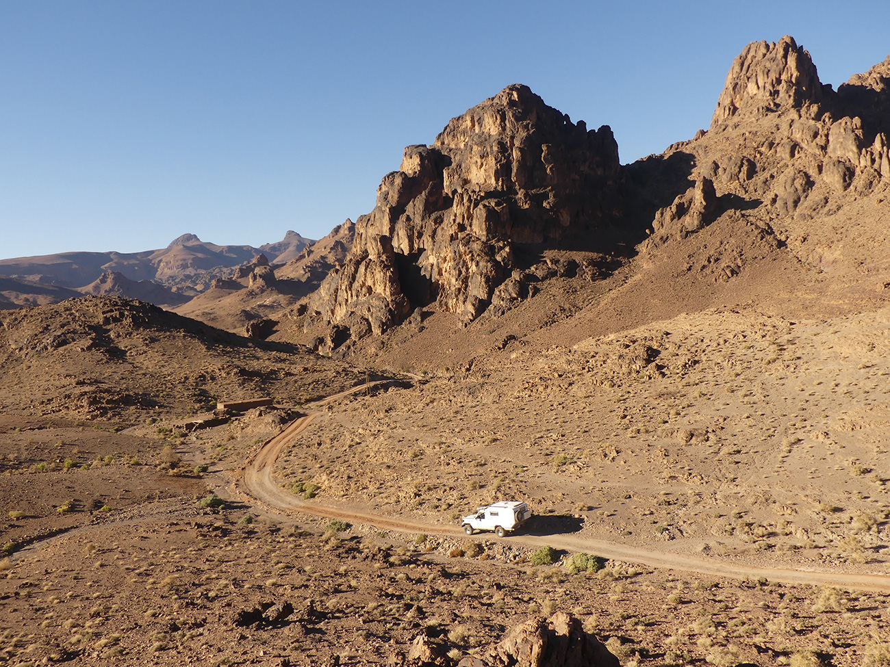
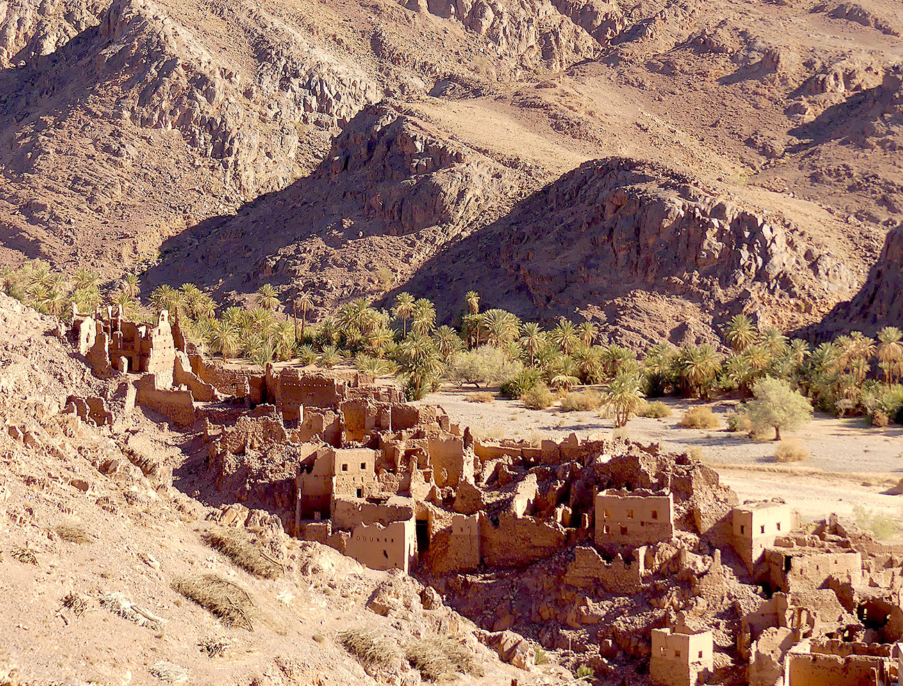
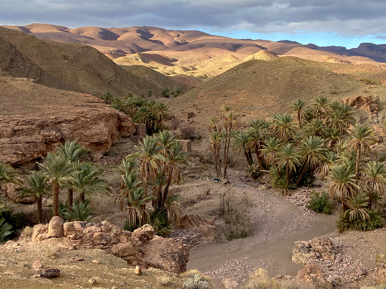
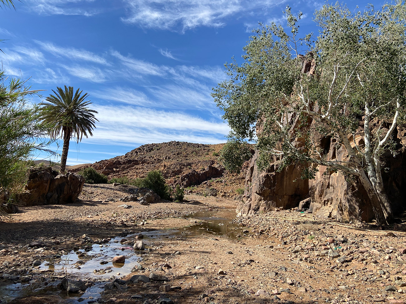
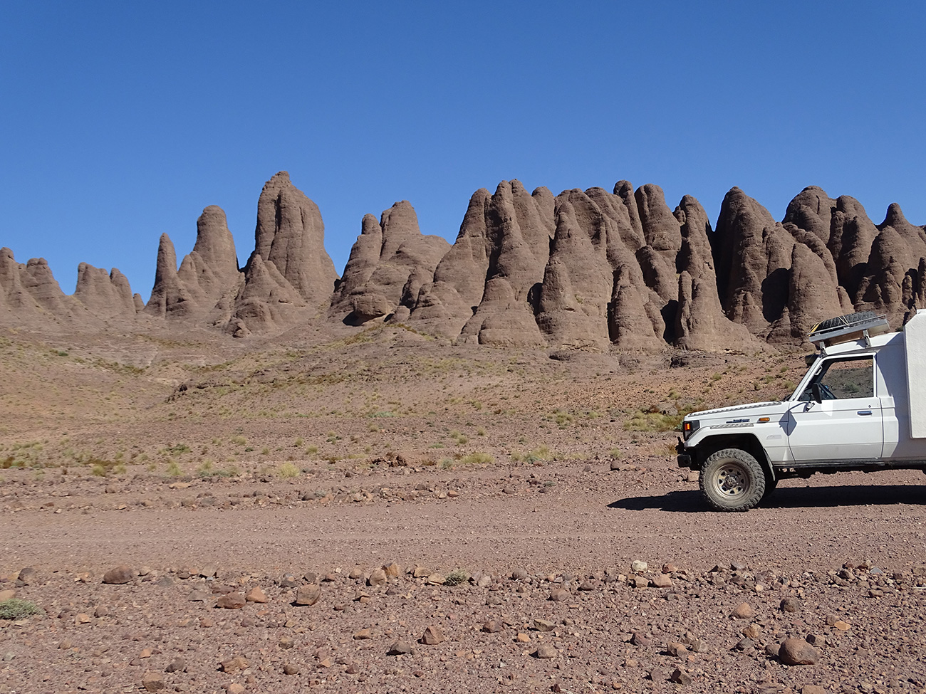
The Sagho djebel is the eastern extension of the Anti-Atlas, a volcanic mountain with granitic mamelons, basaltic organs, chaos of black shales, pink sandstones... at the gates of the Sahara. As far as the eye can see, large wild, arid spaces. A desolate land made for the lonely DPM. And for a thousand miles around, silence is the only companion. Absolute plenitude and the desire to take to the track. From flat expanses to rolling hills, from sharp relief to steep canyons: pure, original nature. The character is strong, rustic but the heart is soft. The colours are soft and gentle. Ochre, pink, brown, violet, the colour chart stretches in a gradation of shimmering pastels, sometimes accompanied by an overwhelming heat. Eldorado in the heart of the desert, rare are the oases; modest green spots in the infinitely large, they are the reminders that we are on African soil.
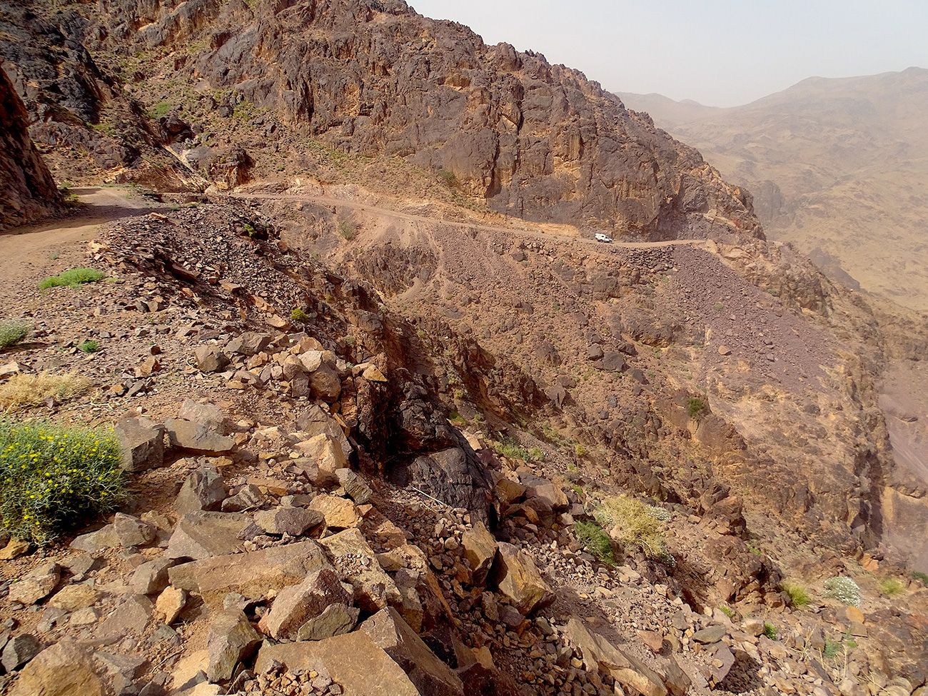
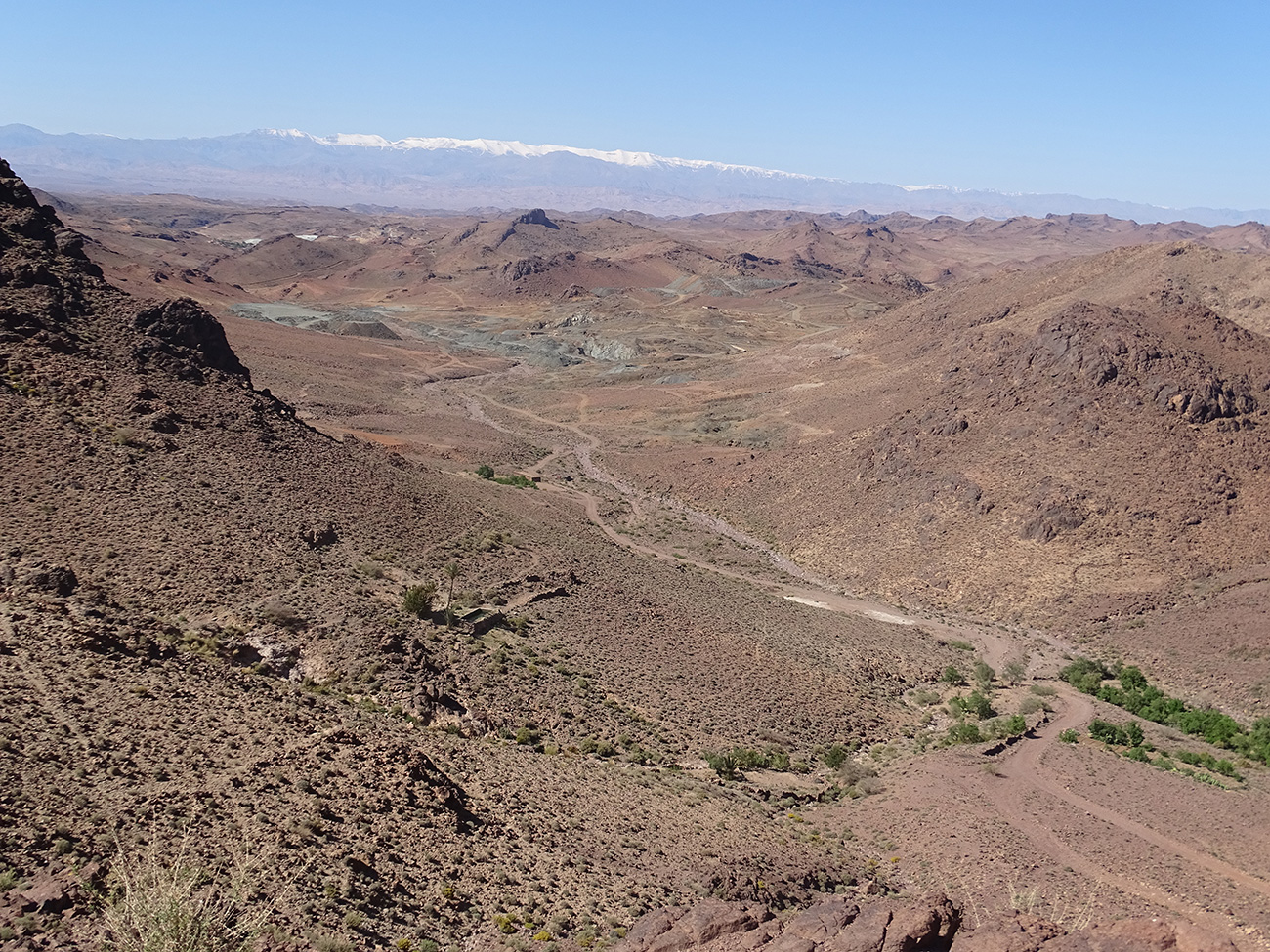
The wild charm of the Sagho is due to its exceptional geology: high cliffs and steep peaks, tabular escarpments and deep canyons in the middle of which caravans of camels and mules circulate. When you arrive on these immense plateaus, the lunar horizon is so vast that you want to go everywhere at once to see if it is really as beautiful elsewhere!
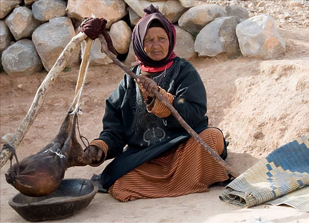
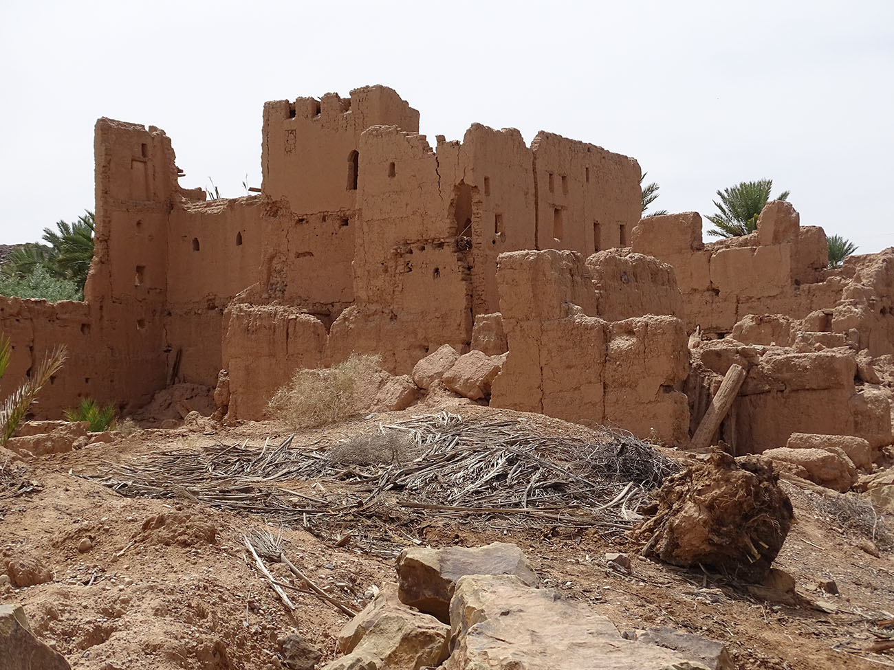
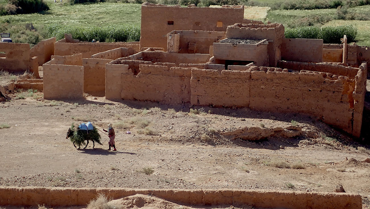
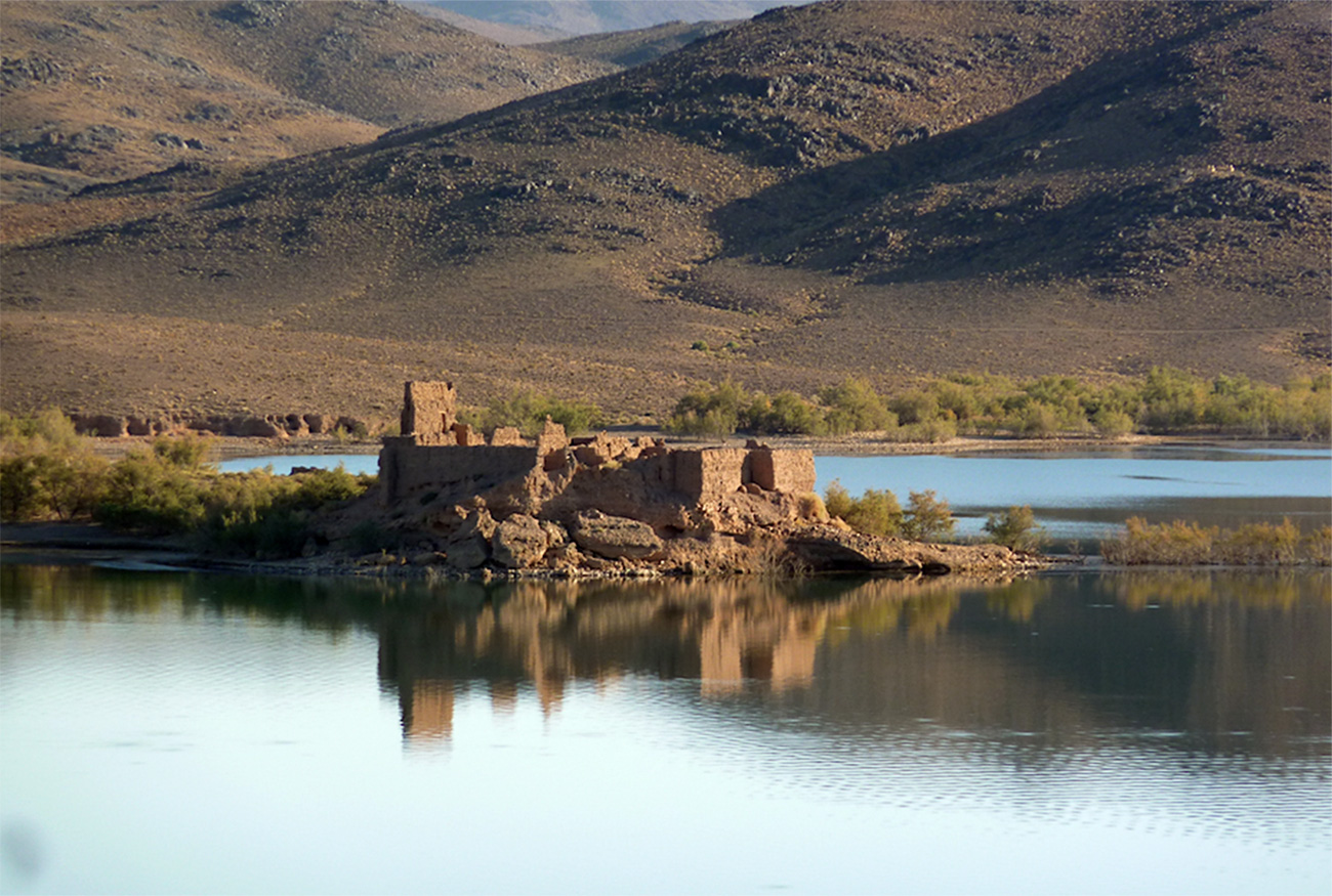
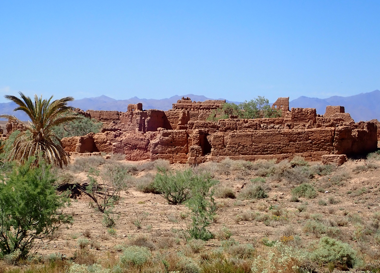
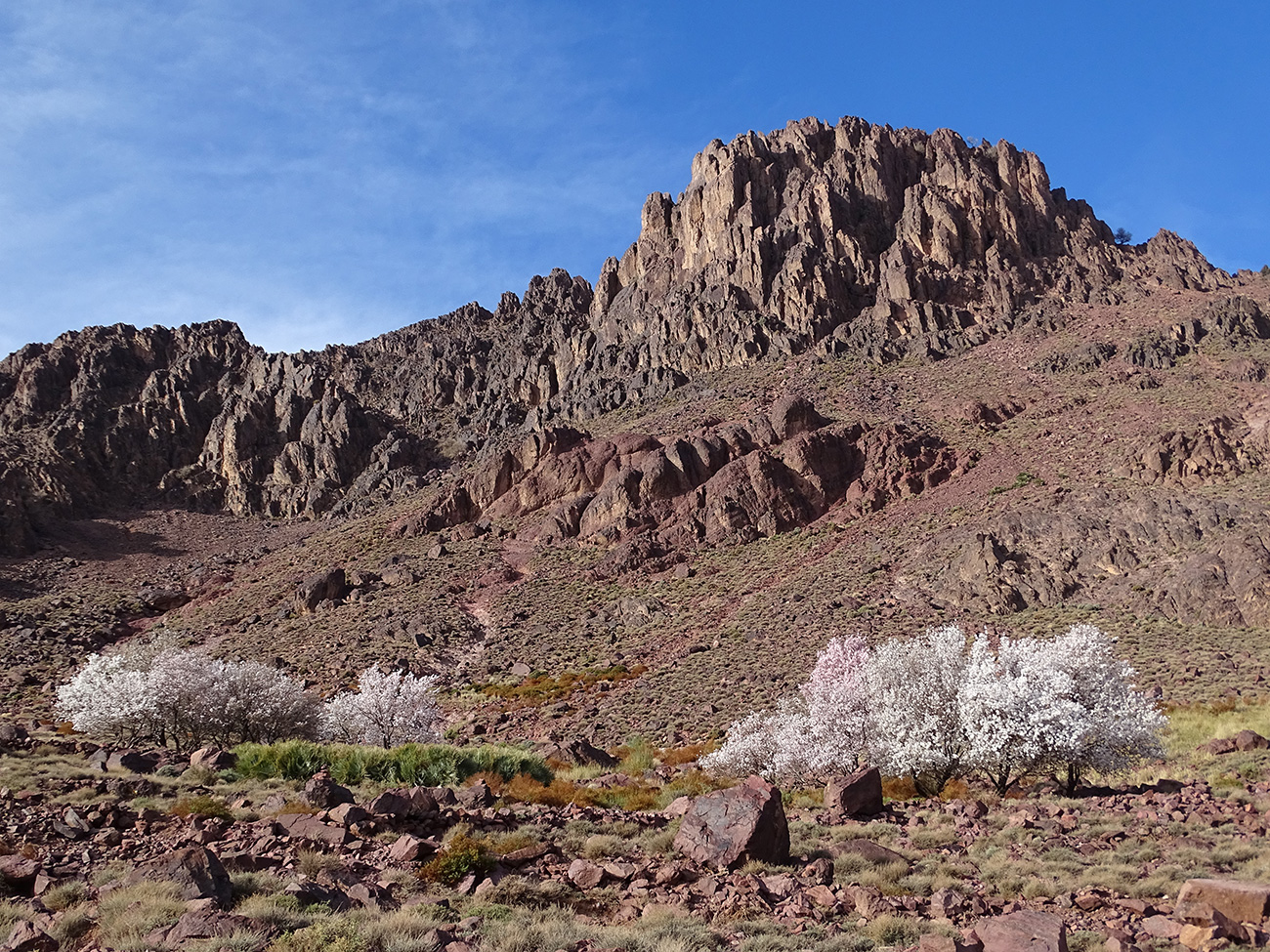
The Sagho also surprises by the richness of its lights: limpid like those of the nearby Sahara, or sometimes in half-tone, as in the neighbouring Dades valley. The Sagho is also the Morocco of the last Berber nomads, descendants of the ancient lords Aït Atta. In autumn, after leaving the snows of the High Atlas, they set up their dark wool tents on the slopes of the jebel until spring. They can neither read nor write, but they are sure of their way through the Atlas Mountains and the Moroccan desert. In the Sagho, they have built houses of unbaked stone, dug wells, planted almond trees, grown wheat, barley and various vegetables. Others built herds of goats and sheep, and caravans of camels. Most of them are now sedentary, semi-nomadic or nomadic...

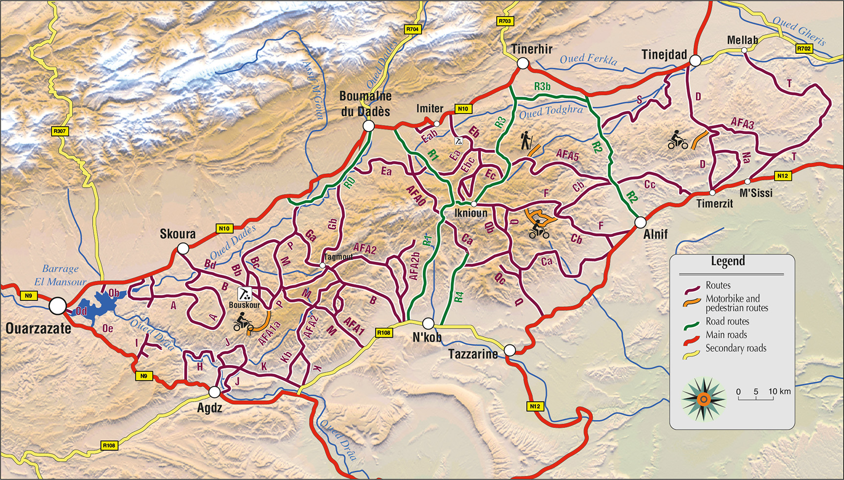
Details of the routes
A - Les routes du Sagho
B - Au départ de la route Ouarzazate-Tinjad
C - Au départ de la route nationale Sud-Sagho
Table of contents
SAGHO ROADS
FROM THE OUARZAZATE-TINJDAD ROADFrom Ouarzazate and Idelsan
From the road Skoura to Boumalne du Dadès
From the Boumalne du Dadès road to Nkob (R1)
From Tinjdad
From the road from Tinerhir to Iknioun
From Tagmout
FROM THE NATIONAL ROAD SOUTH SAGHOFrom the road from Ouarzazate to Agdz
From Agdz
From the road Agdz - Nkob
From the road from Nkob to Tazzarine
From the road Tazzarine - Alnif
From the Alnif - Tinerhir road
From the road from Alnif to Msissi
|
.jpg)
.jpg)
.jpg)

Vient de paraître
LE MAROC EN CAMPING CAR
4e édition (2026)
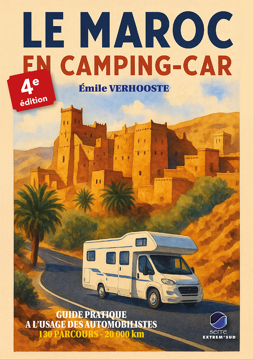
Guide pratique à l'usage des automobilistes. Nouvelle édition, revue, corrigée et fortement augmentée : 20 000 km de parcours, 130 itinérires, 275 illustrations en couleur, 422 pages.
Vient de paraître
Le nouveau guide Gandini :
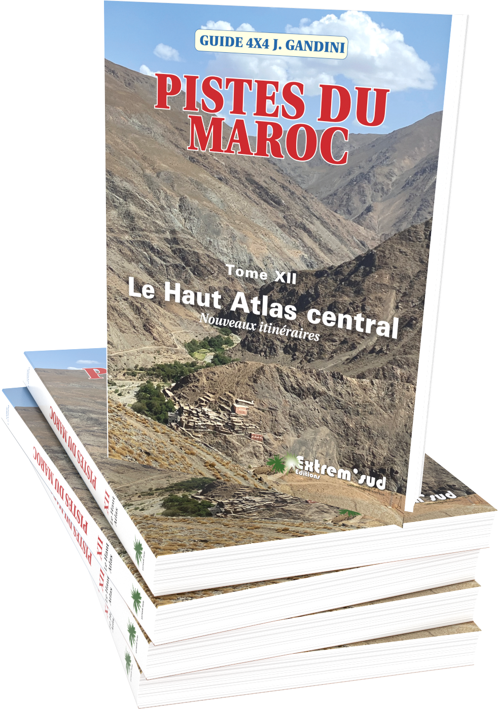
PISTES DU MAROC
TOME 12
Le Haut-Atlas
Nouveaux itinéraires
70 itinéraires 4x4 totalisant
plus de 4 100 km et une trentaine
de randonnées pédestres
faciles totalisant 236 km,
plus de 2000 waypoints relevés.
276 pages, 327 illustrations
en couleurs.
Le tome XII complète idéalement
le Tome I paru en 2016.
Connexion
Restons en contact !
No module found !
